
The Calgary Atlas Project – Calgary’s Art Underground – Place, Time, Art,: A Guide
2020/2021. (Oct. 10, 2020 to March 13, 2021)
https://arts.ucalgary.ca/calgary-institute-humanities/events-and-community/calgary-atlas-project
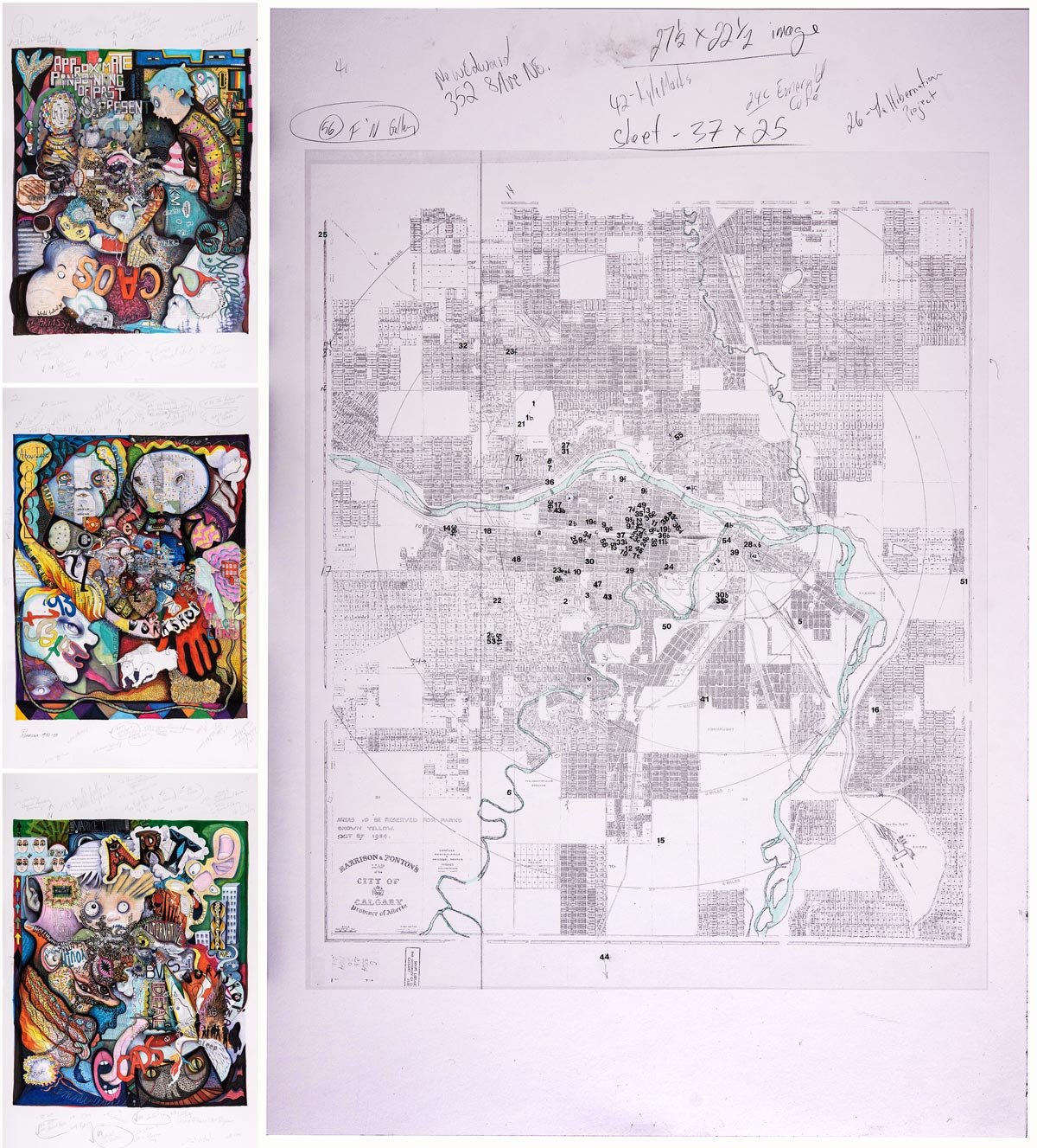
In July of 2020, Drunken Paw was invited by Jim Ellis of the Calgary Institute for the Humanities (CIH) and Diana Sherlock to create a map illustrating the history of Calgary’s rich alternative art scene. The invitation was made towards the beginning of the Covid19 pandemic, when the city was in lockdown. The task required some initial problem solving, both in terms of our collaborative approach during a pandemic, and how we would even begin to conceptualize our manner of approach given the nature of the project.
It was a bit of a backwards process for us. Normally we start with a blank canvas and allow the details to appear as the conversation unfolds. In this case, we were provided the details, which already held their place in the landscape. It was our job to give them form. We decided to begin with a historical map from 1924 which we chose after researching various city archives. It then took numerous sessions just to plot the locations on the map. This historical map, along with Diana Sherlock’s research and text, became our personal legend or key for the drawings to grow out of. Having printed four copies of this map to scale, each one became the skeleton upon which we fleshed out this visual history, starting from the very specific and moving toward the abstract.
In our individual practices and as collaborators in Calgary, we have been both participants and observers of these histories through the years. We each brought our own memories to the images and discussions as we worked the drawings. The experience really brought home our intimate connection to this history. There was still, for all of us, a learning of places and important events that happened both before and during our time.
Six months and 27 sessions later, three large drawings were produced, with one selected by CIH to be reproduced as the final map with our image on one side, and final text by Diana Sherlock on the other.